I would trout fish in VA for a couple of days, spend a day in the salt, and then cap it off with a float for smallmouth bass. More on those trips later. This post deals with the trout fishing.
On Tuesday, I left Virginia Beach, not terribly early, at around 7 am and pointed the car west on I64. Even though I hit lane closures crossing the Shenandoahs, I made it to Mossy Creek Fly Shop in Harrisonburg around 11:30. I was told all the rivers were swollen, fast, and muddy. However, the shop advised me to try the Skidmore Fork, a small tailwater flowing out of a dam in the George Washington National Forest - spitting distance from the WVA border.
Heading west on Route 33 from Harrisonburg, you pass through the hamlet of Rawley Springs and continue as 33 parallels the Dry River, The parking lot for Skidmore Fork is at the base of Middle Mountain. IF you start heading up the mountain, carefully turn around (trucks take the hairpin turns in the middle of the road!) and turn into the parking lot on the right at the bottom of the hill.
I had read that the fishing improved the farther upstream you went. However, I also misunderstood that the river section was about 9 miles. Because of that, I promised myself I would walk at least an hour upstream, without looking at the water, before starting to fish.
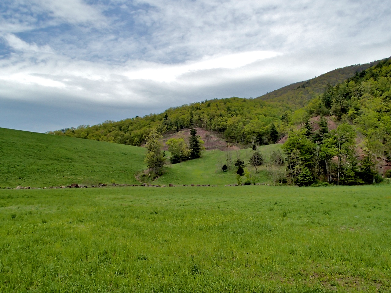
OK, I cheated and looked at the river right from the start. I just wanted to gauge the conditions - water level, speed, clarity. When I saw this scene, I was PSYCHED!

The trail was wide and easy!

Some "trail art".

Perhaps because it wasn't too garish and you had to be paying attention to see it, I wasn't offended by this graffiti. After 45 minutes of steady walking, I entered into a clearing and saw the unmistakable footprint of a major earthen dam! Perhaps the 9 miles I got in my head includes the dammed lake and the upstream portion of the Skidmore Fork.
And at the far left hand corner of the dam was the outlet channel. The weir groaned and belched slugs of water that came in waves. But the pulses of water quickly dissipated; healthy sized brookies were rising everywhere.

Using a #16 parachute Adams, I had my my pick of fish. Their colors were spectacular, with brilliant patches of orange and white epaulets.

Just look at that tail!

Having caught enough fish in the first hour to last a day, I moved on to the more challenging fast water down below the dam outfall channel. It was rushing pretty good and I worked my way down to find creases in the flow where the water slowed down a bit.
Some of the brookies were average size for a small mountain stream...

Some of the little guys still had their par marks - so cool!

You can see, I was using a small stimulator for the fast water and it worked well. Even if their colors were muted, some of the fish were quite nice sized!

That guy was in this section...

My 6X tippet went "blink" as I lost a monster in this pocket - DAMN!

After that, I clipped down the leader and started fishing a streamer that my TU buddy Bill Campbell taught me to tie at a meeting. I caught a few fish on that too. I mean, check out this scenery - breathtaking! I'm sure you could do very well just fishing streamers from the dam down to the parking lot.

I left the stream at around 5 pm since my evening accomodations were not yet set and there was the potential that I may have had to find a campsite. I headed back east and south and the setting sun over the Blue Ridge Mountains was the perfect capper to an excellent day on a new VA stream. Peace!

No comments:
Post a Comment